Request A Quote!
It Only Takes A Few Seconds
Request A Quote
Business Hours
M-F: 9:00-4:00 ET
75 Aiken Street Unit 100
Charleston, SC 29403
Call Us
843-900-1002

Aerial LiDAR Services

Unleashing the Power of Accurate Topography Mapping and Stockpile Volume Services

Advanced LiDAR Technology for Precise Topography Mapping and Stockpile Volume Calculations

At Paydirt Earthworks Support Services, we leverage cutting-edge LiDAR technologies to deliver precise and comprehensive topography mapping and stockpile volume calculations. Whether you have a small 1-acre site or a vast expanse of 100,000 acres, our LiDAR services can cater to your needs. With our state-of-the-art equipment and expertise, we offer LiDAR solutions utilizing drones, helicopters, and fixed-wing aircraft, providing nationwide coverage.

contact us today

LiDAR Topography Mapping and Stockpile Volume Services

Accurate Topography Mapping:

Our LiDAR technology enables us to capture highly detailed and accurate topographic data. By emitting laser pulses from the airborne platform, we measure the distance to the ground surface and create a detailed point cloud representation of the terrain. This data allows us to generate precise topographic maps, contour lines, and elevation models, providing you with valuable information about the land’s surface characteristics.

Comprehensive Stockpile Volume Calculations:

In addition to topography mapping, our LiDAR services excel in calculating stockpile volumes with exceptional accuracy. By scanning and capturing data points of the stockpiles, we can precisely calculate their volumes and provide you with detailed reports. Accurate stockpile volume calculations are essential for project planning, material inventory management, and ensuring compliance with regulations. Our LiDAR technology streamlines this process, saving you time, resources, and improving overall project efficiency.

Flexible LiDAR Solutions:

We understand that every project has unique requirements and constraints. That’s why we offer flexible LiDAR solutions to suit your specific needs. Whether it’s a small-scale site that can be efficiently covered by a drone survey or a large-scale project that demands aerial coverage from helicopters or fixed-wing aircraft, we have the capabilities and expertise to deliver optimal results. Our LiDAR services are available nationwide, allowing us to support projects across diverse geographical locations.

Benefits of LiDAR Technology:

LiDAR technology brings numerous benefits to your topography mapping and stockpile volume calculation processes:

  • High Accuracy: LiDAR enables precise measurements and detailed representations of the land surface, ensuring accuracy in topographic mapping and stockpile volume calculations.
  • Efficient Data Capture: LiDAR technology allows for rapid data acquisition, saving time and resources compared to traditional surveying methods.
  • Comprehensive Coverage: With LiDAR’s aerial capabilities, we can cover large areas efficiently, providing you with comprehensive data for analysis and decision-making.
  • Safety and Accessibility: LiDAR surveys can be conducted remotely, minimizing the need for personnel on the ground and enabling access to challenging or hazardous terrains.

Partner with Paydirt Earthworks Support Services:

When it comes to LiDAR topography mapping and stockpile volume services, Paydirt Earthworks Support Services is your trusted partner. Our expertise, advanced technology, and commitment to accuracy ensure that you receive reliable data to support your project planning, design, and execution. Whether you need LiDAR services for land development, construction, mining, or environmental applications, we have the capabilities to meet your requirements. Contact us today to discuss your LiDAR mapping and stockpile volume needs. Our experienced team is ready to provide tailored solutions and assist you in achieving successful outcomes for your projects.

Paydirt Earthworks Support Services logo

We offer start to finish bidding so that you don't have to worry about doing anything to produce a bid!

contact us to learn more!
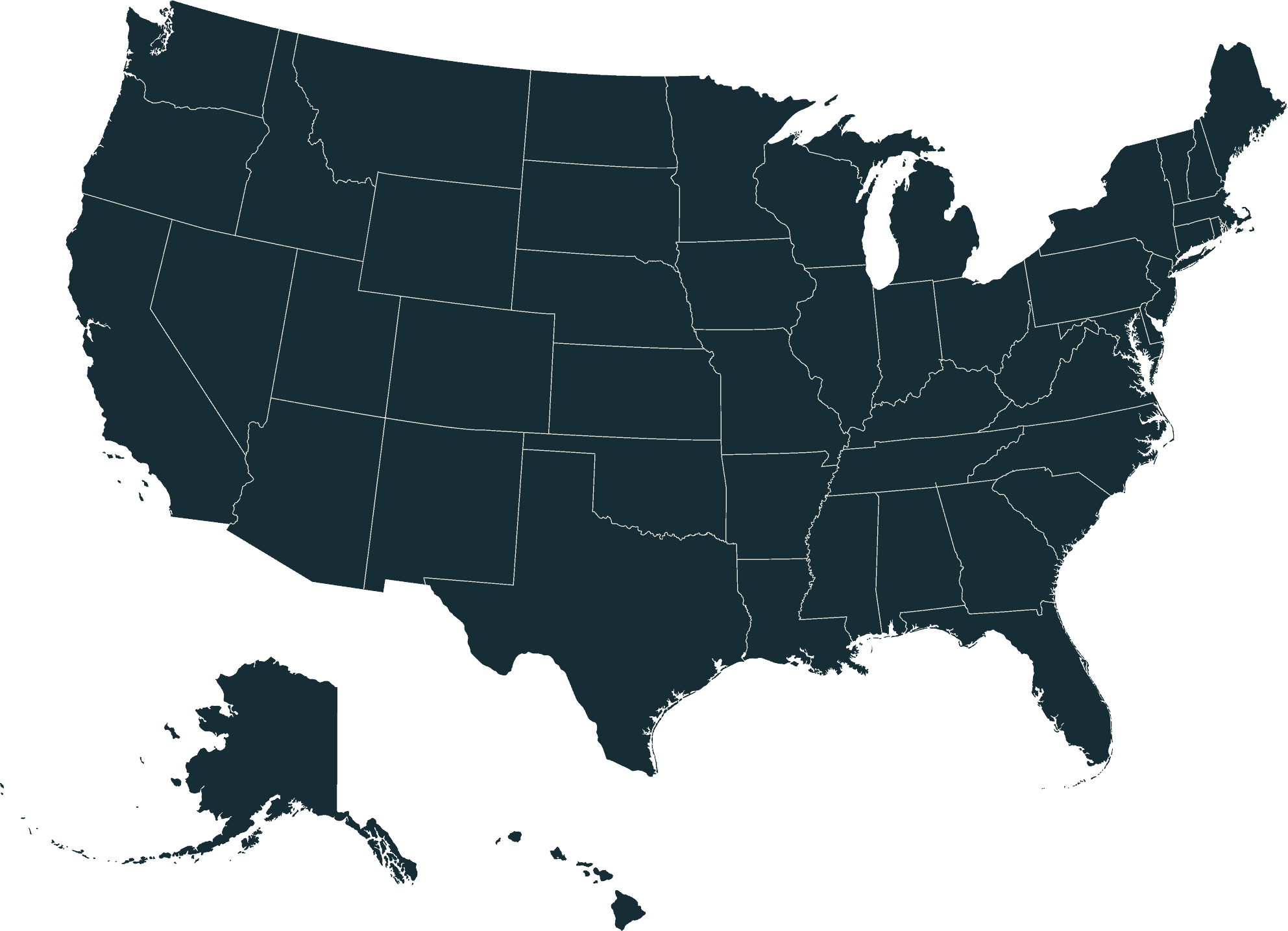
Map of the U.S. states where Paydirt has completed projects

We Provide The Highest Quality Excavation & Mining Support In The United States

Our team of experts is available for travel throughout the USA and internationally to perform our services. Contact us today to learn more about how we can help with your projects.
send us a message!

We Make working with us simple

How Our Process Works

Messenger icon

1. Contact Us

Fill out the contact sheet with as much information as possible. 
Reviews icon

2. Review

Paydirt will review the documents and be in touch within 1 business day.
Contact form icon

3. Onboarding

If you wish to move forward, Paydirt will send out client onboarding forms to review and sign.
Contact icon

4. Sit Back & Relax

Paydirt will perform the work and review all reports and relevant job information with you.

Frequently Asked Questions

Contact Us Today To Learn How We Can Help With Your Project.

Paydirt Earthworks Support Services logo
We specialize in using the latest technology and techniques to deliver accurate and reliable results for our clients. Our team of experts is available for travel throughout the USA and internationally to perform our services. Contact us today to learn more about how we can help with your projects.
Copyright © 2026 All Rights Reserved
menuarrow-right linkedin facebook pinterest youtube rss twitter instagram facebook-blank rss-blank linkedin-blank pinterest youtube twitter instagram