What if you could see every detail of your construction project before breaking ground?
In the precise world of construction, the difference between success and setbacks often
hinges on the depth of your initial project insights. Advanced takeoff and geotechnical
analysis not only sketch the blueprint of what’s to come but also predict the terrain’s
challenges. Advanced takeoff, subgrade materials reports, and precise cut-fill reports
are pivotal. How could these detailed analyses transform your next project? could your
project benefit from this level of foresight?
- The Critical Edge of Detailed Takeoffs
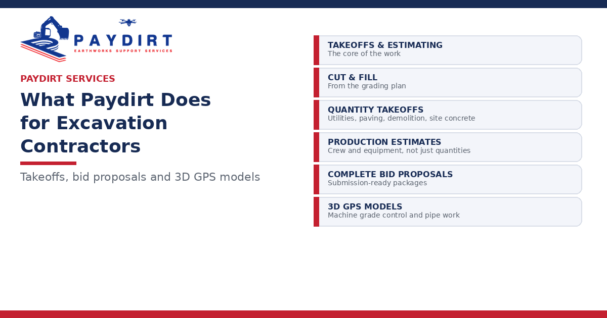
Why do takeoffs define the course of your construction projects? Detailed takeoffs go
beyond mere material enumeration to offer a strategic overview that ensures financial
accuracy and meticulous resource management. This comprehensive approach
minimizes risks of budget overruns and keeps your project timeline on track, securing a
smooth path from conception to construction.
- Mastering Terrain with Cut Fill Reports
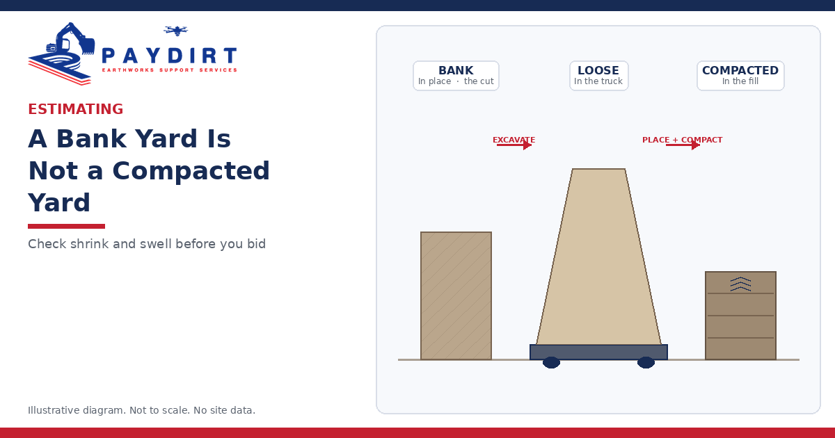
How much dirt needs moving and where should it go? Precision in earthmoving is
pivotal. Cut-fill maps deliver exact volumetric data, enabling efficient resource allocation
and operational planning. Cut-fill reports offer critical data on the volume of soil to be
excavated or added, optimizing the use of materials and machinery. This precision not
only saves time and costs but also ensures that your site is prepared accurately,
enhancing the overall project efficiency.
- Unveiling Below-the-Surface Insights with Subgrade Materials Reports
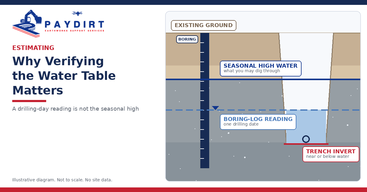
What’s hidden beneath your construction site? Subgrade materials reports provide a
comprehensive analysis of the soil and other materials below the surface. This
information is vital for assessing the suitability of the site foundation, predicting
potential issues, and planning mitigation strategies to prevent future structural
problems.
- How can CAD and LiDAR technologies transform your approach to construction
project planning? These two powerful tools provide an unparalleled depth of detail and
accuracy, making them indispensable in the visualization and pre-construction phases
of any project.
● LiDAR Technology: LiDAR (Light Detection and Ranging) is a remote sensing
method that uses laser light to densely sample the earth, creating precise
three-dimensional information about the shape and surface characteristics of a
project site. For construction projects, LiDAR is invaluable for its ability to quickly
generate accurate topographical data across large areas. This data helps in
planning the initial stages of the project, assessing potential obstacles, and
ensuring that the groundwork aligns perfectly with the project specifications.
● CAD Software: Computer-Aided Design (CAD) software is at the forefront of
creating detailed architectural and engineering designs. CAD allows for the
meticulous drafting of digital 3D models that represent buildings, infrastructure,
and other architectural elements. These models play a critical role in visualizing
the final structure and are essential for detailed design work, enabling engineers
and architects to explore different layouts and structures before any actual
construction begins.
- Grounding Decisions in Geotechnical Analysis
What lies beneath the surface of your project site? The geotechnical analysis report
provides essential insights into soil conditions and subsurface variables, crucial for
determining the feasibility and safety of your construction plans. This analysis helps
mitigate risks associated with soil instability and other geotechnical challenges, paving
the way for a solid foundation.
Advanced takeoff and geotechnical analysis are services and your project’s
safeguarding tools, ensuring that your construction plans are as robust as the
structures you aim to build. Are you ready to integrate these critical assessments into
your next project?